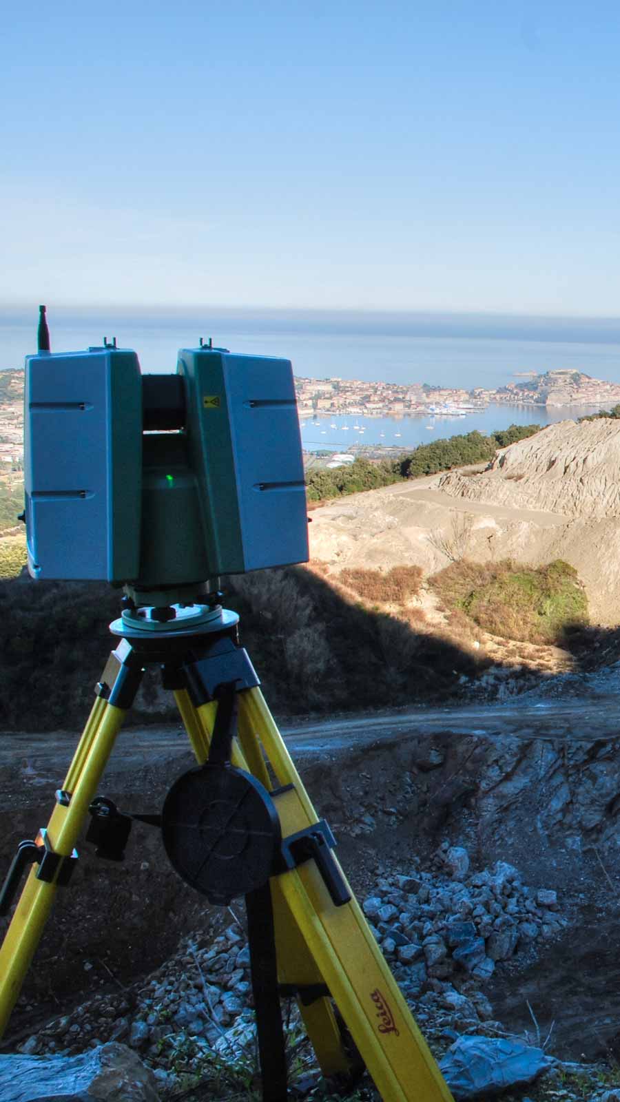
Extensive or detailed territorial and infrastructure topographic surveying using LiDAR systems mounted on UAV platforms, with the production of BIM Revit Toposolid models, volumetric plans, Digital Terrain Models (DTM), contour lines, and surveyed points.
Monitoring of quarrying activities through periodic verification of excavation phases and progress, underground surveys of mining complexes, and monitoring activities of landslide phenomena.